About Us
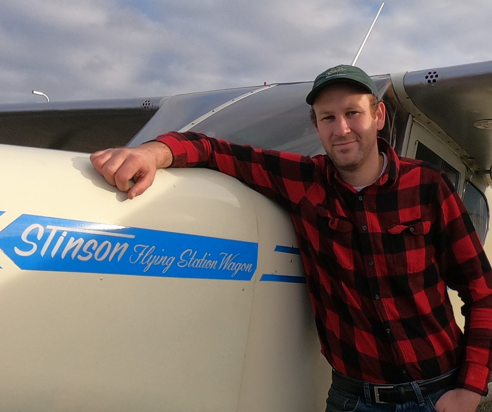
Mike Rothgeb
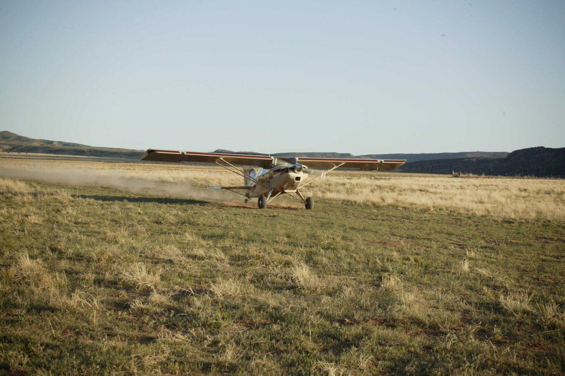
Mike A Rothgeb is a third-generation pilot who was born into aviation. From the time he was a few months old, Mike has been riding in and flying planes pretty much all around the world. From the tundra of Alaska, to the plains of Africa, to the crowded ramps of LAX and ORD, he has made it his mission to never stop learning. While the airline pilot life was fun for a while, he realized that it was not for him. Mike's true passion is in remote backcountry flying and giving back by teaching others. With the lessons he's learned from his experiences and the knowledge base of great mentors, he has developed one of the best flight training programs to turn student pilots into well rounded aviators. Whatever your aviation goals are, consulting or flying with Mike is sure to be a fun, memorable and valuable experience.
With his continual desire to improve safety through training and resources for pilots, Mike jumped at the opportunity to continue the legacy of Galen Hanselman and the wonderful resources he has put together for the backcountry pilot in his series of books. Along with backcountry flight instruction, Mike is now working on adding more states to the series Hanselman started, as well as building an app to make these resources easier to access.
About the Author
Galen L Hanselman
When Hanselman started flying in the early 1980s, he often heard his pilot friends talk about their experiences in the "backcountry." Intrigued, he decided to fly to Sulphur Creek, "a great little one-way strip," on his own. On approach to the grassy airstrip, he overestimated its length and came in too fast. After touching down about halfway with the plane barreling toward the end, he stomped on the brakes, locking them up. The plane skidded past the lodge, coming to a stop just before the runway's end. With knees still shaking, Hanselman went inside for a piece of pie, realizing he needed two things: backcountry instruction, and real information.
As Hanselman explored many of Idaho's backcountry airstrips, he realized the only information available about most of them was through word of mouth. He decided to document backcountry strips and publish his findings in a book that would give other pilots accurate and useful information. Armed with surveying equipment, a tripod, theodolite, measuring wheel, level, compass, and GPS, he began revisiting Idaho's many remote airstrips and documenting them. His guides are written in a folksy style that belied the scientific background of their author. Along with more photos than you can shake a stick at and all the data a pilot could want, his books has become an indispensable asset to backcountry aviators.
Nearly every pilot in Idaho who flies the backcountry carries a copy of Hanselman’s book, “Fly Idaho!,” in the cockpit—to the point where most people simply refer to it as “the backcountry pilot’s bible.” His “Idaho Aeronautical Chart” is used by pilots all over the Northwest. The widespread distribution of Hanselman’s books, charts, and articles has increased the safety of flight, while bringing public awareness to Idaho’s irreplaceable backcountry airstrips. Blessed with nearly 100 pristine wilderness airstrips within easy reach of civilization, Idaho has become the premier destination for recreational pilots from every corner of the planet.
“Fly Idaho!” provides wacky true tales of Idaho’s backcountry history, including stories of old timers, miners, trappers, hermits, Indians, wayward pilots, outlaws, moonshiners and recreational information was also included. To help pilots assess the difficulty of any airstrip at a glance, Hanselman developed the Relative Hazard Index (RHI). The RHI is a number between 1 and 50 that considers factors such as obstacles, terrain, visibility, runway surfaces, and more. Hanselman also published Fly Utah, Air Baja and aeronautical charts. With surveying equipment including a tripod, theodolite, measuring wheel, level, compass, GPS, and more he spent years compiling the most extensive data on remote areas. In addition to accurately computing the location, length, width, elevation, and orientation of each runway, he overflew each strip and photographed it from different angles, as an incoming pilot would see it. This sounds easier than it is: many airstrips lie deep within narrow canyons, making it difficult to fly and photograph at the same time.